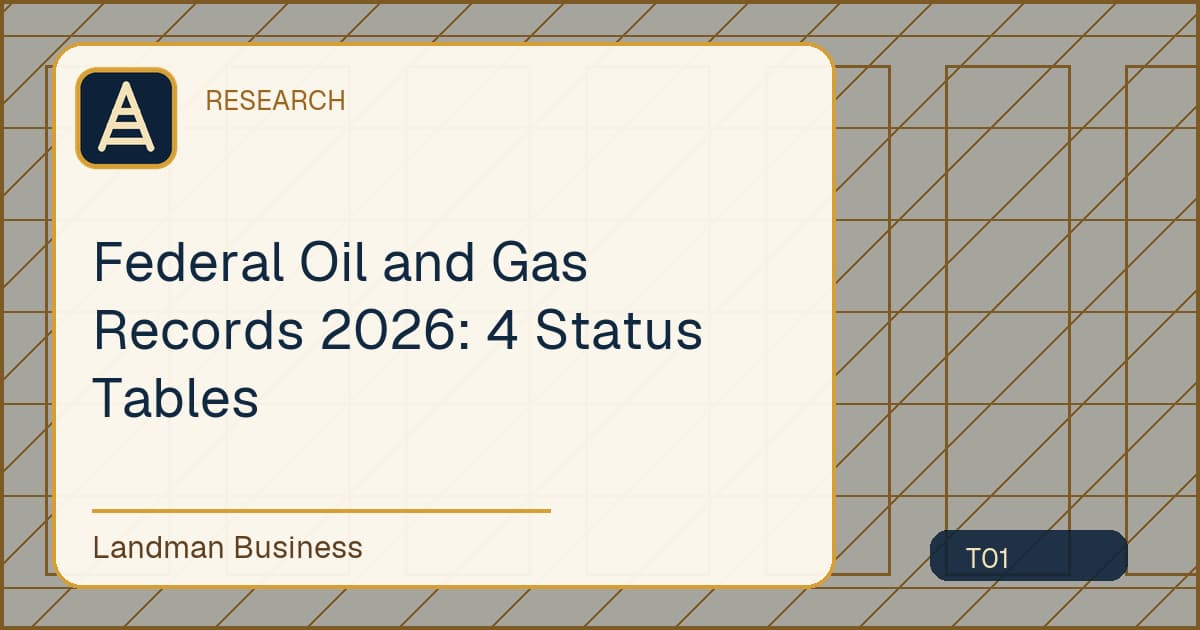
4 status tables form a useful federal baseline: leases, permits, wells, and acreage.
10 sources reviewed
Verified July 16, 2026
4 status tables form a useful federal baseline: leases, permits, wells, and acreage. BLM publishes these measures as separate tables because each describes a different stage of activity.
The inventory uses public agency pages and preserves the meaning of each measure. Landman Business treats every number as a dated observation, not as a promise about a project, market, or staffing result.
Federal Oil and Gas Records 2026: Key findings
What the primary measure means
Federal oil and gas research crosses land status, lease, well, production, and revenue systems. No single portal is authoritative for every layer, so the record map must identify which agency owns each field.
How records can be compared
A durable join uses legal description plus stable lease, case, or well identifiers. Names and map proximity are discovery clues, not reliable keys, especially after assignments or operator changes.
Decision boundary
The assembled file is an evidence index. It does not replace the instruments, agency decisions, or an authorized interpretation of title and lease status.
Data fields to capture
- Lease count and acreage
- Applications and approved permits
- Well status and producing acreage
Also retain publisher, source URL, stable record identifier, covered period, access date, and revision status. Store interpretation in a separate notes field so the source observation remains unchanged.
Interpretation limits
- A permit is not a producing well.
- Acreage and record counts cannot be added.
- Fiscal year tables may not align with calendar year data.
The assembled file is an evidence index. It does not replace the instruments, agency decisions, or an authorized interpretation of title and lease status.
Review questions
A reproducible review of Federal Oil and Gas Records 2026: 4 Status Tables should answer these questions before a value enters a client work file:
- Which public authority defines Lease count and acreage, and does the saved page state the same covered period as the copied value?
- Can Applications and approved permits be traced to a stable record, table, or download rather than an unlabeled search result?
- Does Well status and producing acreage use the same unit, geography, event status, and revision stage as the proposed comparison?
- Is the observation being used only for the administrative purpose that the source supports?
- Are every missing field, definition conflict, and unavailable primary record visible in the exception log?
Answering no to one of these questions does not justify filling the gap. It identifies a verification task or a decision that belongs with the authorized client reviewer.
Data sources and methodology
This article reviewed 10 named public sources on July 16, 2026. The method identifies the primary publisher, records what each page covers, and avoids combining measures until period, unit, and geography agree.
| Source |
What it contributes |
Verification |
| Bureau of Land Management, Oil and Gas Statistics |
Federal onshore lease, permit, well, and acreage tables |
Accessed July 16, 2026 |
| Bureau of Land Management, What We Manage |
Official surface and federal mineral estate scope |
Accessed July 16, 2026 |
| Bureau of Land Management, Mineral and Land Records System |
Current federal land and mineral case record access |
Accessed July 16, 2026 |
| Bureau of Land Management, General Land Office Records |
Federal land patents, survey plats, field notes, and related records |
Accessed July 16, 2026 |
| Bureau of Land Management, Cadastral Survey |
Federal survey framework and official land descriptions |
Accessed July 16, 2026 |
| Office of Natural Resources Revenue, Natural Resources Revenue Data |
Federal production, revenue, and disbursement datasets |
Accessed July 16, 2026 |
| Office of Natural Resources Revenue, References |
Reporting references, handbooks, and revenue terminology |
Accessed July 16, 2026 |
| Bureau of Ocean Energy Management, Oil and Gas Leasing |
Federal offshore planning and lease sale records |
Accessed July 16, 2026 |
| Bureau of Ocean Energy Management, Mapping and Data |
Offshore lease, block, boundary, and infrastructure data |
Accessed July 16, 2026 |
| U.S. Government Accountability Office, Oil and Gas Wells |
Federal oversight findings on inactive and orphan wells |
Accessed July 16, 2026 |
The inventory does not estimate missing values. A blank, suppressed cell, unavailable county index, or unpublished period remains unresolved until a primary record supports it.
Practical research workflow
- Write a field list and assign an authoritative system to each field.
- Locate land status and case records before adding activity data.
- Preserve lease, well, and revenue identifiers without reformatting them.
- Reconcile names only after the identifier chain agrees.
- Deliver source copies and an exception list to the reviewer.
The final file should let another researcher locate the same source, understand the selected definition, and see every unresolved exception without relying on an undocumented assumption.
Frequently asked questions
Why use multiple official sources?
The sources separate federal land status, survey evidence, mineral records, leasing, offshore data, revenue, and oversight. None is treated as a substitute for another.
Does this inventory replace title review?
No. Public statistical and regulatory sources provide context, while parcel and title conclusions require the controlling records for the jurisdiction.
How often should the page be checked?
Check the source on its stated release schedule and verify the article at least annually. Update the verification date only after opening the source and reviewing the affected statement.
Conclusion
BLM publishes these measures as separate tables because each describes a different stage of activity. Use the source table as a starting point, then preserve the primary record behind every case level conclusion.
If record collection or land administration is consuming your team, Book a free consultation.
Sources
- Bureau of Land Management, Oil and Gas Statistics
- Bureau of Land Management, What We Manage
- Bureau of Land Management, Mineral and Land Records System
- Bureau of Land Management, General Land Office Records
- Bureau of Land Management, Cadastral Survey
- Office of Natural Resources Revenue, Natural Resources Revenue Data
- Office of Natural Resources Revenue, References
- Bureau of Ocean Energy Management, Oil and Gas Leasing
- Bureau of Ocean Energy Management, Mapping and Data
- U.S. Government Accountability Office, Oil and Gas Wells